Search This Blog

Wednesday, 18 September 2013

STREAKY BAY SA

  Streaky Bay is the first significant service centre on the western coast that I have come across since Ceduna. The small bay posses the now common jetty that dominates the small foreshore area. Streaky prides itself on the variety of seafoods available here especially Oysters, Abalone and Scallops that are served at the 3 or 4 eateries in town. It also serves the surrounding Agricultural district and an Aquaculture Centre nearby with an Hotel, a couple of small (and expensive) Supermarkets, Garages and Bank branches. Unfortunately for me, it is Sunday and almost all of these were closed. I would also suggest that it may be a popular holiday destination for some, as its the starting point for the Eyre Peninsula "Seafood Trail".
  Streaky Bay was named by Captain Matthew Flinders in 1802 who saw bands of colour in the water that he thought indicated a large river entering the ocean but later turned out to be oils leached from seaweed. Later in 1839 the explorer, Edward John Eyre established a base 3 kms from Streaky Bay at what is now called Eyre's Waterhole. Since there are no other free camping facilities around here, I bedded for the night at this very basic roadside rest stop.
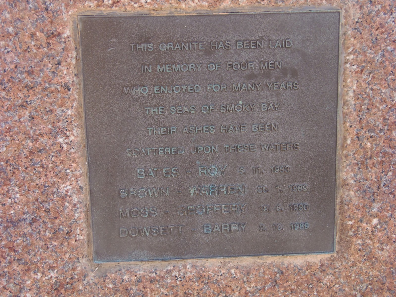
 Apart from Fisheries and Agriculture, the area has an important industry mining Monumental Granite from just outside of town, which has been used at Canberra and Adelaide's Parliament House.
  I took advantage of a local Hospital and had my leg checked and redressed. Still a way to go before the bandages can come off was the verdict.
PS: Our rural Internet connectivity is a disgrace, it has taken 2 hours and 45 minutes to upload this and the Haslam posts - rubbish!


HASLAM SA


You will have to closely study the map to find Haslam that's situated about halfway between Smoky and Streaky Bay. More a community than a town, Haslam is made up of a few houses owned by local Oyster farming families. The quirky Post Office, that is open for only half an hour, at different times 2 or 3 days a week and is the only "official" or commercial building here. The community provides a small campground for travellers at a cost of $5 per night. Close by is a substantial jetty that suggests that the area may have been more active than it is today. I watched as the local farmers launched and retrieved their Oyster boats, modern alloy craft all of the same design, that they hauled to and from the launch point with tractors. As there were no oyster leases around Haslam I assume that the boats travelled to some other part of the coast to harvest. A rugged and windswept beach completed the picture. By coincidence, in the Campground, I parked next to an old couple that I had met all the way back at Kimba. Since the weather was not good and my burnt leg was a bit sore, I decided to hold up here for a couple of days next to my compatriots.


Monday, 16 September 2013

CEDUNA and SMOKY BAY on the EYRE PENINSULA SA

  Ceduna is the last major SA town on the drive west to Perth across the Nullarbor Plain. With a population of 3600 and located on the shores of Marat Bay, Ceduna has a strong Aboriginal culture and was named after the Aboriginal word "Chedoona" meaning "Resting Place".
Ceduna's Jetty
The capable Nurse at the Hospital redressed my burnt leg diagnosing that there was still no sign of infection, to my relief. I left almost immediately after a quick drive around. There are no opportunities for Free Camping around here so I  thought I would try my luck down at Smoky Bay and start my exploration of the Eyre Peninsula from there.
  The relaxed Smoky Bay, only 40 kms south of Cedua has a nice beach, an impressively long jetty, which I have come to lean is ubiquitous for seaside townships on the Eyre Peninsula. There is one General Store with fuel, which I had to purchase at a rip-off $1.80 per litre, a small Caravan Park right beside the beach and many signs prohibiting camping. I am feeling a bit tired so decided the Caravan Park will be it for the night. I was pleased, a pleasant hostess, very clean facilities, the best Camp Kitchen that I had ever seen and at a cost of $25 with power. Now that is what a weary Grey Nomad expects to pay for good facilities in a nice spot.I would possibly have stayed longer but it's near Pension day and after the fuel purchase I am getting short on funds and besides, the weather is awful.


PILDAPPA ROCK SA

  160 kms and a "drop in a bucket" trip these days until we reach minuscule Minnipa and turnoff to the north for Pildappa. The excellent dirt road of about 15 kms through grazing land ended with a return to the feel of the outback. "The Rock" is situated in scrub country with typical red dirt soils encircling. Apparently it is isolated granite inselberg (google that if you want more info) and is a spectacular wave-like formation. During the late 19th and early 20th centuries. the site was a vital watering point on the stock route to the Gawler Ranges. There is a small, simple campground for the cost of a donation. Although impressive, I argued with Billy that Pildappa was better than  "The Marbles". The rock is about 500 metres in circumference, 20 metres high and climbable but not for me with my sore leg.
  Sadly, here is where I depart to continue my journey alone. I have been travelling with Billy and Jules for around 2 months and we have become good friends. I am pleased to say that when things went a bit wrong they both stood by to help me and displayed a loyalty that I will not forget. Hopefully this separation will only be for a few months as we intend to join up again for a major trip to Darwin and the West Coast that may last for most of next year.
  My plans are to reach Ceduna for a leg checkup and then descend south east for an exploration of the Eyre Peninsula over the next couple of weeks.


PORT AUGUSTA and KIMBA SA

  Regular readers will know that larger Towns have little attraction for me unless they display their historical past through their heritage buildings or possess some other feature that I can find interest in. Needless to say, Port Augusta didn't enthuse Although locals may have different ideas, I found the place uninviting. Anecdotes of antisocial behaviour and occurrences of theft that others had provided didn't help either. For me it was a place to shop and in this case vote on the upcoming Federal Election. I did search but failed to find any worthwhile photographic subjects.
  Today, after staying in an average, overpriced, Caravan Park, Mel told us that she had decided to split up and return home to Canberra for a while before heading back into Qld. She did say that she may join us again for a trip to WA next year that Billy, Jules and I had discussed as a concept. I am sad to see her go as she had become a part of the team. The rest of us decided to continue west via Kimba to the next target, Pildappa Rock. Here Billy and Jules plan to also go their own way and return to travel the Murray River back into Vic.
  So to Kimba travelling west on the Eyre Hwy, past the quarries at Iron Knob, through saltbush lined regularity. Until, of a sudden, about 30 kms before Kimba , I topped a rare hill, when, like the breathless change in the landscape around Woomera, a completely different vista pounced. The saltbush abruptly materialised into beautiful, rich, green, farmlands patch worked with bright, yellow fields of flowering, canola crops. Kimba arrived with the reinforced expectation that It was impossible that it would fail to blend with it's surroundings. The invitingly, friendly, feel of the town made for a pleasant stay for free in the Lions Central Apex Park that came complete with the basic facilities that a Nomad needs. Kimba is designated as "RV Friendly" and wears that badge proudly. The Community also participates in a national project that aims to assimilate Grey Nomads as a volunteer by encouraging them to contribute to community projects in exchange for country hospitality. I may return one day and take up this challenge.
  Kimba boasts of being geographically exactly halfway across Australia. Of course the Roadhouse displays the appropriate signage to inform the visitor. It also has for some unexplained reason "The Big Galah" also at the Roadhouse. I took a trip to Whites Knob Lookout and again marvelled in the picturesque landscape that circled Kimba Town.
  There is a small hospital here and Jules has talked me into visiting for an assessment of my leg burn which is still resulting in a limp due to soreness.  I am glad I did, after very kind and friendly assistance from the Nurse. a Doctor confirmed that no infection was present but suggested that I have it checked and redressed every three days or so.
  Off next day to what Billy describes as "better than the Devil's Marbles", Pildappa Rock near Minnipa to the west.